Hiking tour Rosszahnscharte
Short description
Hike from Kastelruth to the jagged Rosszahn peaks near the Schlern massif.
Description
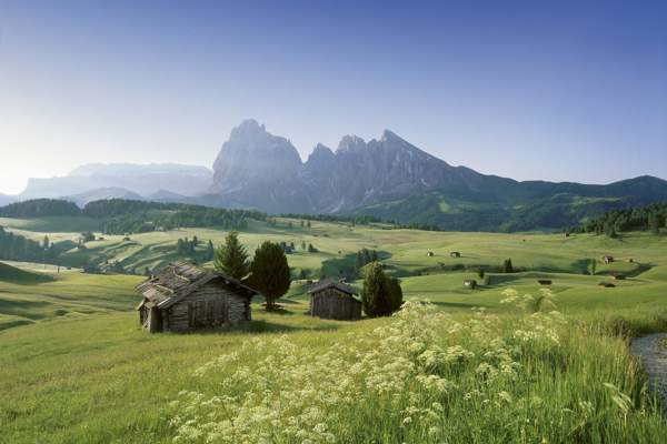
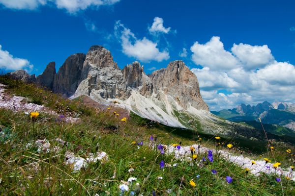
There are many striking rock formations in the Dolomites. However, the Rosszahn in the Sciliar area are particularly bizarre and unique in their appearance, forming a breathtaking contrast to the gentle alpine meadows of the Alpe di Siusi.
Starting point of the tour
Hotel Panorama Kastelruth
Destination of the tour
Rosszähnescharte
Route description
From here, a farm track leads to the Hotel Panorama and on over hollows and valleys to the Mahlknechthütte. After crossing a stream bed, circular hikers walk to the Sciliar hut and on to the Tierser Alpl hut.
Here, mountaineers take path no. 2 and reach the Rosszahnscharte, which offers great views. From there, you can admire the legendary rocky peaks and enjoy the view of the Seiser Alm. The way back starts at the Rosszahnscharte and leads along serpentines back to gentle alpine meadows and the starting point of the tour in Compatsch (trail no. 2) near Kastelruth.
Trail signs
2
Equipment
Hiking boots, wind and rain protection, sunglasses
Public transport
Trains stop at Klausen railway station, bus connection Klausen-Seiser Alm.
Directions
Brenner motorway A22, exit Klausen-Seiser Alm/Schlerngebiet, SS12 to Waidbruck, then towards Seiser Alm, Kastelruth
Parking
Hotel Panorama car park in Kastelruth
Tip by the author
Type of trail
Length 30 km
Author
Editorial office south-tirol.com